Winter’s Icy Grip: A Brutal Cold Snap Hits the Northeast
The Coldest Weekend of the Season Approaches
Bundle up, folks—winter is about to show us what it’s really capable of. Before temperatures finally start to climb next week and give the Eastern United States some much-needed relief, this weekend is shaping up to be the coldest we’ve experienced all season. For those living in the Northeast, the forecast is particularly concerning, with bone-chilling temperatures and accumulating snow on the way. This isn’t just your typical winter weather; we’re talking about an arctic blast that will make you think twice before stepping outside. The regions expecting the coldest conditions will also be dealing with snowfall that will mark the arrival of this frigid air mass, creating a double challenge for residents who’ll need to prepare for both hazardous road conditions and dangerously low temperatures that could pose serious health risks to anyone caught unprepared.
Snow Sweeps Across Multiple States Throughout Friday
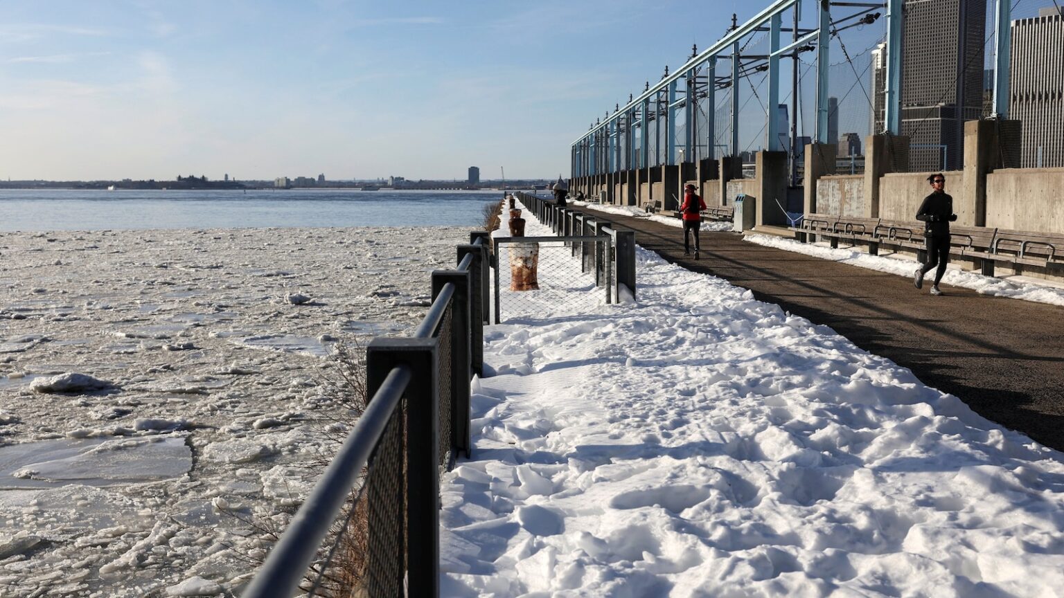
The weather event kicks off Friday morning with a quick-moving snow shower that will affect Michigan, Indiana, and Ohio. While this initial wave won’t be particularly heavy—most areas can expect a dusting to about 2 inches of accumulation—it’s just the opening act of what’s to come. As Friday afternoon rolls around, the snow will shift eastward, affecting areas from eastern Kentucky through western Pennsylvania. Picture joggers who regularly run along New York’s East River parks finding themselves navigating frozen pathways, much like those captured in photographs from previous cold snaps, bundled in layers and breathing out visible puffs of cold air with each stride. By Friday evening, the snow will become more scattered but more widespread, stretching across the entire Appalachian region from the scenic Smoky Mountains all the way north to upstate New York. Pittsburgh, Pennsylvania, sits right in the path of this system and could see up to 2 inches of snow blanketing the Steel City, creating slippery conditions for the evening commute and making Friday night plans a bit more challenging for residents.
New England Braces for Saturday’s Snowfall
Saturday is when New England really gets its turn with this winter system. The snow will primarily affect areas north of New York City, though even the Big Apple isn’t completely off the hook—some flurries or light snow could dust the city streets with up to an inch of the white stuff. Boston, that historic city known for its resilience through countless nor’easters, is looking at an inch or two of snow. However, the real snow accumulation story will be told along the eastern Interstate 90 corridor, where significantly higher totals are expected. Cities like Syracuse, Rochester, Buffalo, and Erie, extending near Cleveland, could see anywhere from 2 to 4 inches of snow. For residents of these areas, this is familiar territory—the lake effect and winter storms are part of life in upstate New York and the Great Lakes region—but that doesn’t make it any less disruptive. Grocery store parking lots will fill up Friday as people stock up, snow shovels will come out of garages, and snow plows will be prepped and ready to work through the night. While meteorologists are classifying this as a low to moderate impact winter storm, that designation focuses mainly on snow totals; the real story is what comes along with the snow.
Dangerous Wind Chills Create Life-Threatening Conditions
The snow itself is just one piece of this weather puzzle. What makes this weekend particularly dangerous is the combination of cold temperatures and strong winds that will create brutally low wind chill values across the region. We’re not talking about temperatures that just feel a bit uncomfortable—these are the kind of conditions that can cause frostbite on exposed skin in a matter of minutes. The same areas expecting the most snow will also experience strong wind gusts, and when you combine those winds with already frigid temperatures, wind chills will plummet to an astonishing 30 degrees below zero in some locations. This isn’t an exaggeration or weather hype; it’s serious enough that an extreme cold watch has been issued from Friday night through Sunday morning. In parts of northeastern New York, including picturesque areas like Lake Placid and Saranac Lake—places that typically embrace winter weather—wind chills could drop to a staggering -35 degrees. At that temperature, exposed skin can develop frostbite in as little as 10 minutes, which means that quick trip to grab the mail or walk the dog becomes a genuinely hazardous activity without proper protection.
Major Cities Face Their Coldest Temperatures in Years
For major metropolitan areas, the numbers are equally sobering. New York City, that bustling metropolis where millions of people commute, work, and live, will see high temperatures only reaching the 20s on Saturday—and those are the highs, the warmest it will get all day. Sunday looks even worse, with highs struggling to reach the teens. When you wake up Sunday morning in New York, the temperature could be in the single digits, and that’s before accounting for wind chill. Those fierce winds—gusting up to 50 mph on Saturday and still managing 30 mph gusts on Sunday—will make it feel like zero or below throughout the weekend. Sunday morning could bring wind chills of -15 degrees to the city, turning the urban landscape into something resembling the Arctic tundra. Boston and Buffalo, New York, both cities accustomed to harsh winters, will feel like they’re in the negative teens on Sunday morning and still in the negative single digits on Monday morning. For the homeless populations in these cities, this weather poses an immediate crisis, and shelters are preparing for increased capacity. Even for those with adequate housing, the extreme cold means heating systems will be working overtime, potentially leading to higher utility bills and, in some cases, system failures that could leave families in dangerous situations.
Relief in Sight as Warmer Weather Approaches Next Week
After enduring this weekend’s arctic assault, there’s finally some good news on the horizon. Meteorologists are tracking a slow pattern change that should bring relief to the beleaguered East Coast. By the middle and end of next week, temperatures are expected to return to average levels, with some areas possibly seeing above-average temperatures—a welcome change after the prolonged period of bitter cold that residents have been enduring. Now, it’s important to keep expectations realistic; we’re still talking about winter in the Northeast, so “warmer” is a relative term. It will still be chilly by most standards, but after the brutal conditions of this weekend, temperatures in the 30s and 40s might actually feel downright balmy, almost pleasant by comparison. It’s funny how our perception of temperature changes based on what we’ve recently experienced—after days of subzero wind chills and teens for high temperatures, anything above freezing will feel like a heat wave. This pattern change will be gradual, not an overnight transformation, so patience will be required. But knowing that relief is coming can help people mentally prepare to get through the worst of this cold snap. In the meantime, the message from weather authorities and emergency management officials is clear: take this weekend’s weather seriously, limit time outdoors, dress in layers if you must go out, check on elderly neighbors and vulnerable populations, bring pets indoors, and let your faucets drip slightly to prevent frozen pipes. This is the kind of weather that tests our preparation and resilience, but it’s also temporary—spring will eventually arrive, even if it feels impossibly far away right now.

