The Arrival of the Coldest Arctic Blast This Season
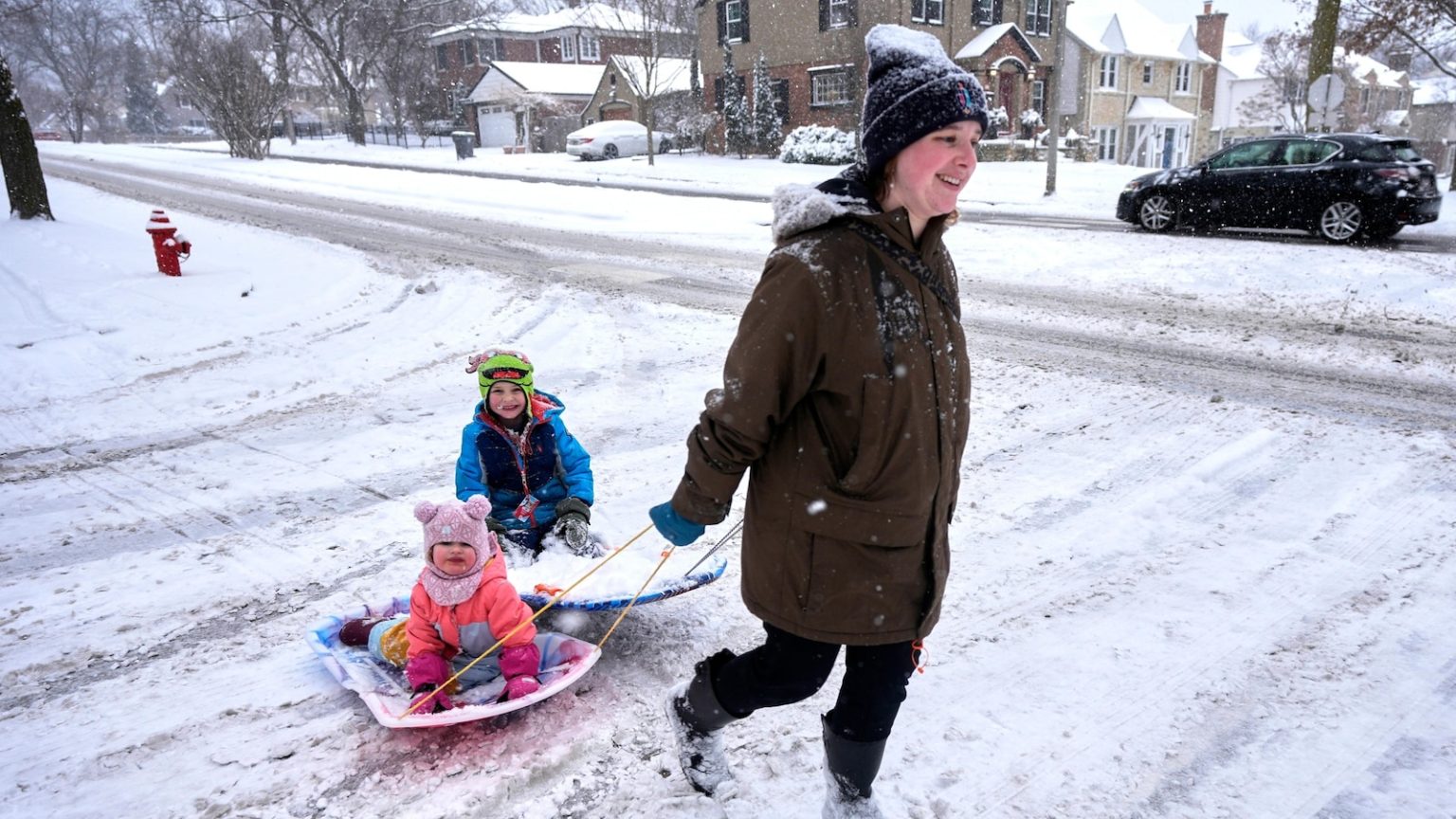
The coldest Arctic air of the season is making its way to the United States and Europe, marking the end of a winter that has seen repeated invasions of the polar vortex. Meteorologists warn that this upcoming cold snap will be particularly severe, with temperatures expected to remain frigid throughout next week. This event is the culmination of a winter that has been anything but normal, with record snowfall in places like New Orleans and devastating wildfires in Southern California. The polar vortex, which typically keeps the coldest Arctic air confined near the North Pole, has stretched like a rubber band multiple times this winter, sending waves of cold air southward. According to Judah Cohen, a seasonal forecast director, this stretching has occurred nine times already this winter—a stark contrast to the usual two or three times in a typical winter.
A Perfect Storm of Arctic Weather Forces
The combination of various weather patterns in the Arctic is driving this unusually cold air southward. Meteorologists point to a high-pressure system in the upper atmosphere over Greenland, which is moving westward and altering the jet stream. This change in the jet stream’s path is causing polar air to plunge deeper into the U.S. and Europe than usual. The cold air is expected to first hit the northern Rockies and northern Plains by Saturday and then linger throughout the following week. The hardest-hit areas will likely be east of the Rockies, with only the far western U.S., central Florida, and southern Florida expected to escape the worst of the cold. Private meteorologist Ryan Maue predicts that the Lower 48 states will experience an average low of just 16.6 degrees Fahrenheit on Tuesday, dropping even further to 14 degrees Fahrenheit by Wednesday.
Extreme Cold and Biting Winds
The cold temperatures will be made even more unbearable by strong winds, which will bring windchills of 20 degrees Fahrenheit or lower to nearly every U.S. state except Hawaii, California, and Florida. Some areas, like Kansas, Nebraska, Missouri, and Iowa, are expected to experience temperatures as much as 35 degrees below normal for this time of year. Zack Taylor, a meteorologist at the National Weather Service, describes these areas as likely experiencing the “most impressive” cold of the outbreak. NOAA weather models predict that several states, including Oklahoma, Colorado, Nebraska, and Minnesota, will see temperatures drop below zero by Wednesday. With the jet stream stuck in a wavy pattern and the polar vortex stretched to its limits, meteorologists are warning of extreme and biting cold that could rival some of the most severe winter events on record.
The Role of Climate Change in Extreme Weather
While the immediate cause of this polar vortex stretching is a combination of natural weather patterns, climate change may be playing a role in making the jet stream wavier and more prone to such patterns. According to Martin Stendel, a scientist at the National Center for Climate Research in Denmark, human-caused climate change could be contributing to these extreme weather events. However, Laura Ciasto, a meteorologist at NOAA’s Climate Prediction Center, notes that while this winter’s weather is unusual, it is not unprecedented. The stretching of the polar vortex, which is different from the sudden weakening of the vortex that allows cold air to escape, is a natural phenomenon. However, the frequency and severity of such events this winter have left scientists curious about whether this is part of a larger climate trend or simply random variability.
Global Warming and Extreme Weather Contradictions
Despite the extreme cold gripping much of the U.S., the world as a whole continues to experience an overall warming trend. January marked the 18th consecutive month where Earth’s average temperature set a new heat record, with the planet inching closer to the internationally agreed-upon warming limit of 1.5 degrees Celsius above pre-industrial levels. This seeming contradiction—extreme cold in some regions alongside global warming—highlights the complexity of climate systems. The same climate change that may be making the jet stream wavier and more unpredictable is also driving record-breaking heat in other parts of the world. This winter’s repeated polar vortex incursions serve as a reminder that climate change does not mean the end of cold weather, but rather a disruption of normal weather patterns and an increase in extreme events.
Preparing for the Impacts and Looking Ahead
As the cold outbreak unfolds, meteorologists are urging people to prepare for the worst. With storms, heavy snow, and even a potential nor’easter on the horizon, the next week could see significant disruptions. The National Weather Service is warning of dangerous travel conditions, potential power outages, and heightened risks for vulnerable populations. Meteorologists like Ryan Maue are emphasizing that this event is a reminder of the power of winter weather, even in a warming world. While scientists work to understand the underlying causes of this winter’s extreme cold, the immediate focus is on keeping people safe and informed. As the planet continues to warm, understanding and preparing for these increasingly unpredictable weather patterns will become ever more crucial in the years to come.


